Sign, East Wideopen
Introduction
The photograph on this page of Sign, East Wideopen by Geoff Holland as part of the Geograph project.
The Geograph project started in 2005 with the aim of publishing, organising and preserving representative images for every square kilometre of Great Britain, Ireland and the Isle of Man.

There are currently over 7.5m images from over 14,400 individuals and you can help contribute to the project by visiting https://www.geograph.org.uk
Sign, East Wideopen
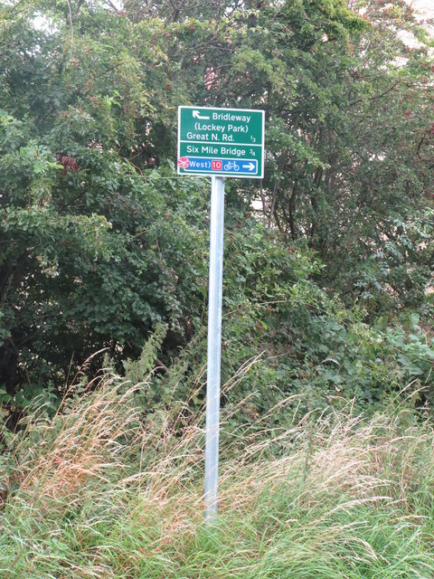
Image: © Geoff Holland Taken: 5 Aug 2020
This sign stands at the junction of two public bridleways, one which forms part of the Reivers Cycle Route, and the other which leads to nearby Lockey Park and the Great North Road in Wideopen. Behind the trees lies a new housing estate which stands on the site of the old East Wideopen Farm. For a selection of detailed free to download walking routes in the area visit www.northtynesidewalks.co.uk
Images are licensed for reuse under creativecommons.org/licenses/by-sa/2.0
Image Location
Latitude
55.047835
Longitude
-1.61621