Steep Field
Introduction
The photograph on this page of Steep Field by Anne Burgess as part of the Geograph project.
The Geograph project started in 2005 with the aim of publishing, organising and preserving representative images for every square kilometre of Great Britain, Ireland and the Isle of Man.

There are currently over 7.5m images from over 14,400 individuals and you can help contribute to the project by visiting https://www.geograph.org.uk
Steep Field
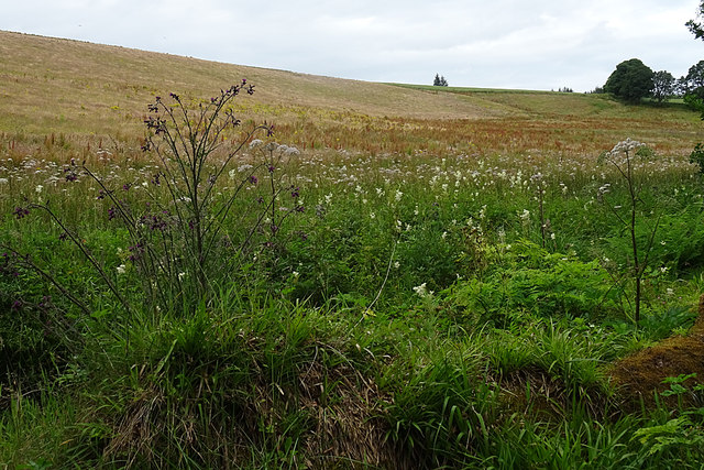
Image: © Anne Burgess Taken: 30 Jul 2020
The field seems not to have been cultivated this year as it is full of docks and ragwort. Closer to the camera are a splendid clump of Marsh Thistle and lots of Angelica and Queen of the Meadows.
Images are licensed for reuse under creativecommons.org/licenses/by-sa/2.0
Image Location
Latitude
57.480969
Longitude
-3.060483