Heol y Wig/Forest Road
Introduction
The photograph on this page of Heol y Wig/Forest Road by Dan Gregory as part of the Geograph project.
The Geograph project started in 2005 with the aim of publishing, organising and preserving representative images for every square kilometre of Great Britain, Ireland and the Isle of Man.

There are currently over 7.5m images from over 14,400 individuals and you can help contribute to the project by visiting https://www.geograph.org.uk
Heol y Wig/Forest Road
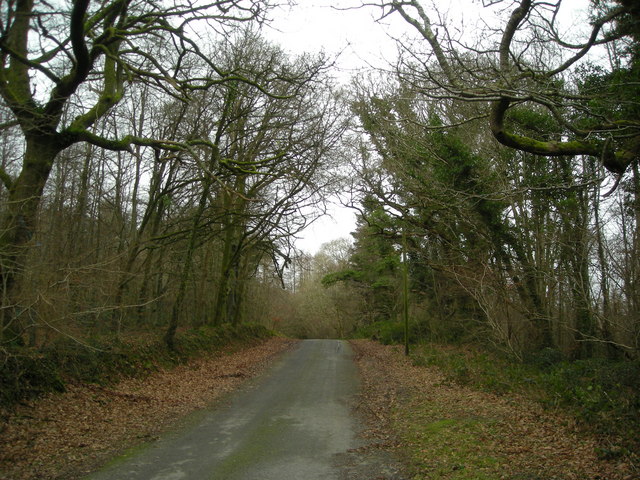
Image: © Dan Gregory Taken: 12 Jan 2008
The road from Lampeter to Silian here passes through a forested area which occupies most of this gridquare. The woods to the left are known as Upper Forest, while those to the right are known as Lower Forest.
Images are licensed for reuse under creativecommons.org/licenses/by-sa/2.0
Image Location


Leaflet Map data © OpenStreetMap
Latitude
52.124684
Longitude
-4.082108