Railway Bridge
Introduction
The photograph on this page of Railway Bridge by jeff collins as part of the Geograph project.
The Geograph project started in 2005 with the aim of publishing, organising and preserving representative images for every square kilometre of Great Britain, Ireland and the Isle of Man.

There are currently over 7.5m images from over 14,400 individuals and you can help contribute to the project by visiting https://www.geograph.org.uk
Railway Bridge
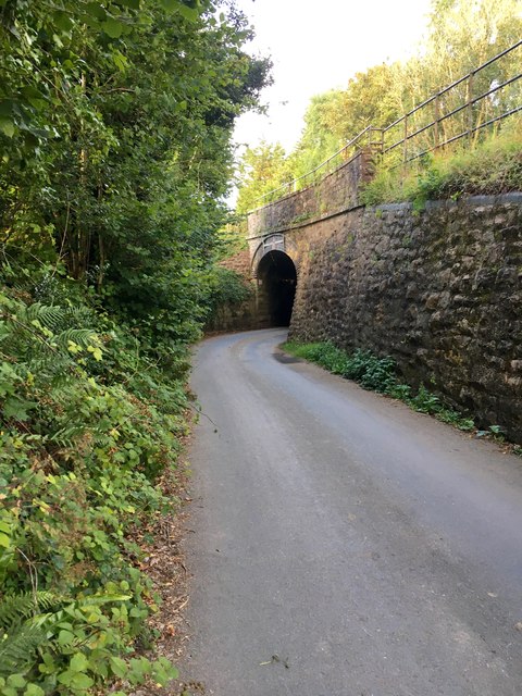
Image: © jeff collins Taken: 4 Aug 2020
The road is almost at right angles going under the bridge. No way can HGVs use this lane.
Images are licensed for reuse under creativecommons.org/licenses/by-sa/2.0
Image Location
Latitude
50.412319
Longitude
-3.852814