Blissford Hill
Introduction
The photograph on this page of Blissford Hill by Barry Deakin as part of the Geograph project.
The Geograph project started in 2005 with the aim of publishing, organising and preserving representative images for every square kilometre of Great Britain, Ireland and the Isle of Man.

There are currently over 7.5m images from over 14,400 individuals and you can help contribute to the project by visiting https://www.geograph.org.uk
Blissford Hill
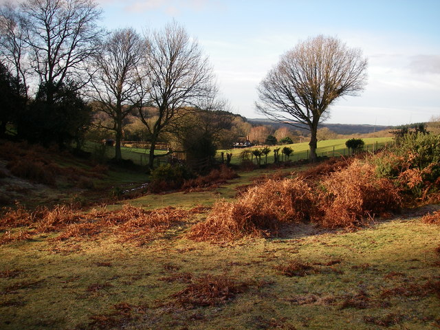
Image: © Barry Deakin Taken: 12 Jan 2008
A view from Blissford Hill towards Ditchend Brook, and Ringwood Forest in the far distance.
Images are licensed for reuse under creativecommons.org/licenses/by-sa/2.0
Image Location
Latitude
50.920694
Longitude
-1.750984