Wormdale Farm
Introduction
The photograph on this page of Wormdale Farm by Richard Dorrell as part of the Geograph project.
The Geograph project started in 2005 with the aim of publishing, organising and preserving representative images for every square kilometre of Great Britain, Ireland and the Isle of Man.

There are currently over 7.5m images from over 14,400 individuals and you can help contribute to the project by visiting https://www.geograph.org.uk
Wormdale Farm
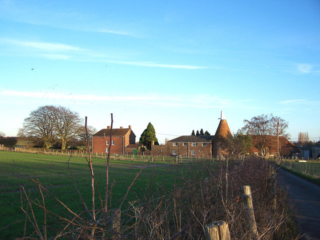
Image: © Richard Dorrell Taken: 12 Jan 2008
This large farm complex stands amid fields with a wide variety of use - there are sheep grazing, quad bike trails, wheat crops growing, clay pigeon shooting ranges, and orchards with a number of different fruits.
Images are licensed for reuse under creativecommons.org/licenses/by-sa/2.0
Image Location
Latitude
51.340469
Longitude
0.667047