Field on south side of Sturdy House Lane
Introduction
The photograph on this page of Field on south side of Sturdy House Lane by Trevor Littlewood as part of the Geograph project.
The Geograph project started in 2005 with the aim of publishing, organising and preserving representative images for every square kilometre of Great Britain, Ireland and the Isle of Man.

There are currently over 7.5m images from over 14,400 individuals and you can help contribute to the project by visiting https://www.geograph.org.uk
Field on south side of Sturdy House Lane
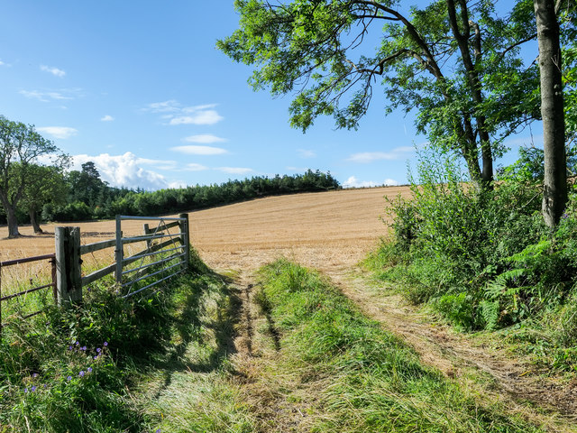
Image: © Trevor Littlewood Taken: 3 Aug 2020
A view through the entry to the stubble field from the road south of the small settlement of Whashton Green.
Images are licensed for reuse under creativecommons.org/licenses/by-sa/2.0
Image Location
Latitude
54.443534
Longitude
-1.779004