Dundridge Park information board
Introduction
The photograph on this page of Dundridge Park information board by Neil Owen as part of the Geograph project.
The Geograph project started in 2005 with the aim of publishing, organising and preserving representative images for every square kilometre of Great Britain, Ireland and the Isle of Man.

There are currently over 7.5m images from over 14,400 individuals and you can help contribute to the project by visiting https://www.geograph.org.uk
Dundridge Park information board
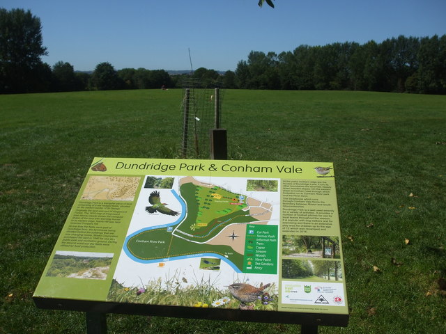
Image: © Neil Owen Taken: 30 Jul 2020
The large parkland is a former farm but is now a valuable green space popular with people and wildlife.
Images are licensed for reuse under creativecommons.org/licenses/by-sa/2.0
Image Location
Latitude
51.448393
Longitude
-2.530797