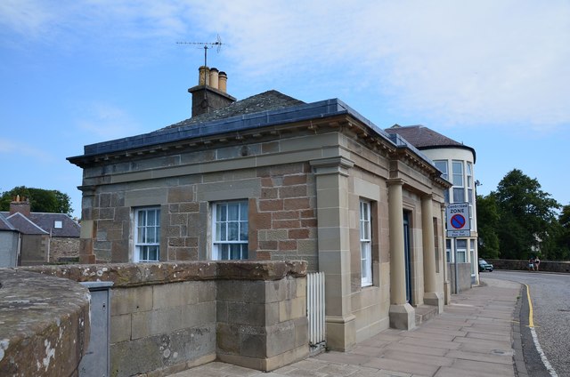
Toll House, Kelso Bridge
Introduction
The photograph on this page of Toll House, Kelso Bridge by Jim Barton as part of the Geograph project.
The Geograph project started in 2005 with the aim of publishing, organising and preserving representative images for every square kilometre of Great Britain, Ireland and the Isle of Man.
There are currently over 7.5m images from over 14,400 individuals and you can help contribute to the project by visiting https://www.geograph.org.uk

Image: © Jim Barton Taken: 31 Jul 2020
The bridge over the Tweed replaced an earlier stone bridge which was damaged by flooding in 1797. Its replacement was built under the direction of John Rennie and opened in 1803, with tolls ranging from 6 shillings for a vehicle drawn by 6 horses to a halfpenny for a pedestrian. As time went by, resentment against the tolls grew until in 1854 a mob tossed the toll gate into the river. Tolls were annulled in 1857. (Source: 'Bridging the Tweed' by Jim Lyon, author publication 2019).

