Junction of Biddulph Way and The Southend
Introduction
The photograph on this page of Junction of Biddulph Way and The Southend by Pauline E as part of the Geograph project.
The Geograph project started in 2005 with the aim of publishing, organising and preserving representative images for every square kilometre of Great Britain, Ireland and the Isle of Man.

There are currently over 7.5m images from over 14,400 individuals and you can help contribute to the project by visiting https://www.geograph.org.uk
Junction of Biddulph Way and The Southend
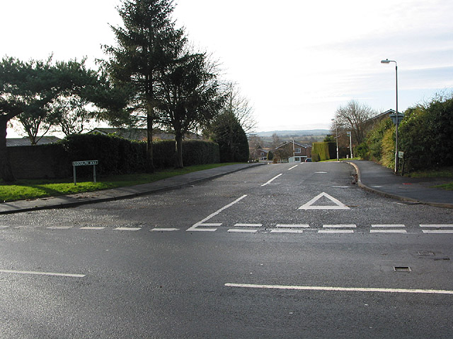
Image: © Pauline E Taken: 12 Jan 2008
Biddulph Way leads into a modern housing development. The Southend, in contrast, contains many old and interesting buildings.
Images are licensed for reuse under creativecommons.org/licenses/by-sa/2.0
Image Location


Leaflet Map data © OpenStreetMap
Latitude
52.03093
Longitude
-2.419894