Access gate to land around a quarry
Introduction
The photograph on this page of Access gate to land around a quarry by Andrew Tatlow as part of the Geograph project.
The Geograph project started in 2005 with the aim of publishing, organising and preserving representative images for every square kilometre of Great Britain, Ireland and the Isle of Man.

There are currently over 7.5m images from over 14,400 individuals and you can help contribute to the project by visiting https://www.geograph.org.uk
Access gate to land around a quarry
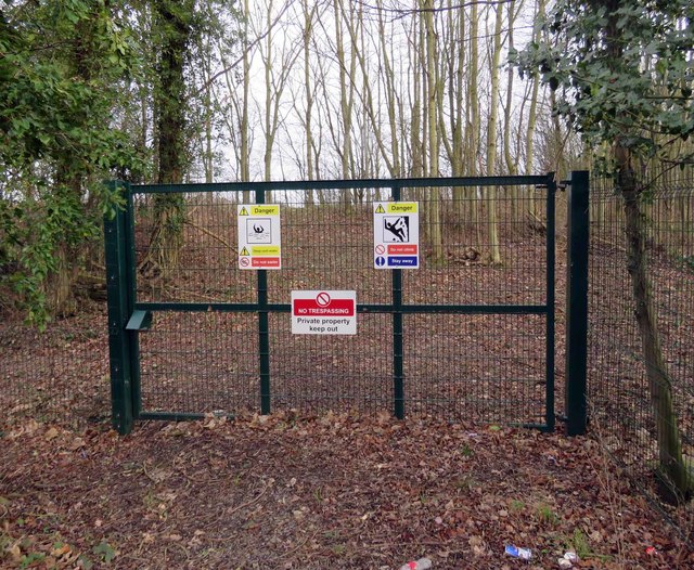
Image: © Andrew Tatlow Taken: 8 Jan 2020
See Image Image Image for closeups of the signs.
Images are licensed for reuse under creativecommons.org/licenses/by-sa/2.0
Image Location


Leaflet Map data © OpenStreetMap
Latitude
52.754578
Longitude
-1.283782