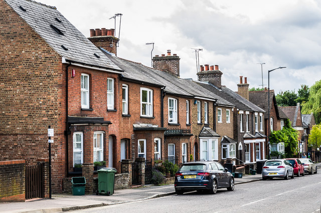
61 - 77 Holywell Hill
Introduction
The photograph on this page of 61 - 77 Holywell Hill by Ian Capper as part of the Geograph project.
The Geograph project started in 2005 with the aim of publishing, organising and preserving representative images for every square kilometre of Great Britain, Ireland and the Isle of Man.
There are currently over 7.5m images from over 14,400 individuals and you can help contribute to the project by visiting https://www.geograph.org.uk

Image: © Ian Capper Taken: 24 Jul 2020
Mid 19th Century terraced houses built following the demolition of Holywell House, home of Sarah Churchill, the Duchess of Marlborough, which had been demolished in 1837 when the present route of Holywell Hill was created, replacing the previous route along Grove Road. Although not now formally used, this stretch of Holywell Hill is shown on older maps as Spencer Place, presumably in commemoration of the Spencer family of which the Duchess was part.

