
Spencer House
Introduction
The photograph on this page of Spencer House by Ian Capper as part of the Geograph project.
The Geograph project started in 2005 with the aim of publishing, organising and preserving representative images for every square kilometre of Great Britain, Ireland and the Isle of Man.

There are currently over 7.5m images from over 14,400 individuals and you can help contribute to the project by visiting https://www.geograph.org.uk
Spencer House
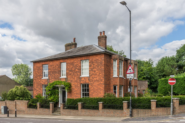
Image: © Ian Capper Taken: 24 Jul 2020
House on Holywell Hill, apparently originally dating from the 1840s and so presumably built following the demolition of Holywell House, home of Sarah Churchill, the Duchess of Marlborough, which had been demolished in 1837 when the present route of Holywell Hill was created replacing the previous route behind the house, along Grove Road. Indeed, the 1879-80 1:500 map marks it as Holywell House, presumably in homage to its predecessor.
Images are licensed for reuse under creativecommons.org/licenses/by-sa/2.0
Image Location

Latitude
51.748036
Longitude
-0.341579