Stainland Road, Barkisland
Introduction
The photograph on this page of Stainland Road, Barkisland by Humphrey Bolton as part of the Geograph project.
The Geograph project started in 2005 with the aim of publishing, organising and preserving representative images for every square kilometre of Great Britain, Ireland and the Isle of Man.

There are currently over 7.5m images from over 14,400 individuals and you can help contribute to the project by visiting https://www.geograph.org.uk
Stainland Road, Barkisland
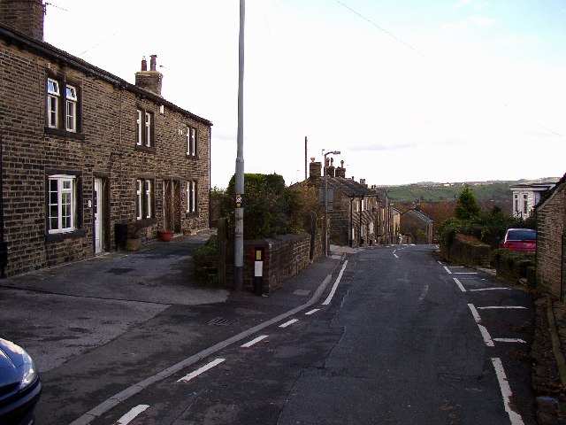
Image: © Humphrey Bolton Taken: 11 Nov 2004
This, the main street of Barkisland, slopes steeply down into the valley with short rows of terrace houses near the top and larger houses culminating in Barkisland Hall at the bottom end.
Images are licensed for reuse under creativecommons.org/licenses/by-sa/2.0
Image Location
Latitude
53.675539
Longitude
-1.915191