Tonge Pond and Mill
Introduction
The photograph on this page of Tonge Pond and Mill by Penny Mayes as part of the Geograph project.
The Geograph project started in 2005 with the aim of publishing, organising and preserving representative images for every square kilometre of Great Britain, Ireland and the Isle of Man.

There are currently over 7.5m images from over 14,400 individuals and you can help contribute to the project by visiting https://www.geograph.org.uk
Tonge Pond and Mill
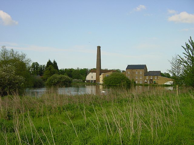
Image: © Penny Mayes Taken: 30 Apr 2005
The pond originally formed part of a defensive moat for Hengist's castle. The story goes that around 450CE Vortigern, King of Britain, granted the Saxon, Hengist as much land as he could cover with an ox hide. So Hengist cut the hide into thong and encircled 80 acres with it. Tonge is part of that 80 acres and the name is a corruption of thong. A mill has certainly stood here since the Domesday Book although the current building dates back to 1837.
Images are licensed for reuse under creativecommons.org/licenses/by-sa/2.0
Image Location


Leaflet Map data © OpenStreetMap
Latitude
51.338777
Longitude
0.774642