Long Itchington-River Itchen
Introduction
The photograph on this page of Long Itchington-River Itchen by Ian Rob as part of the Geograph project.
The Geograph project started in 2005 with the aim of publishing, organising and preserving representative images for every square kilometre of Great Britain, Ireland and the Isle of Man.

There are currently over 7.5m images from over 14,400 individuals and you can help contribute to the project by visiting https://www.geograph.org.uk
Long Itchington-River Itchen
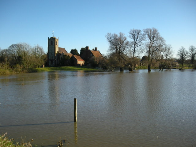
Image: © Ian Rob Taken: 12 Jan 2008
The River has flooded at the Bascote Road Bridge. The Holy Trinity Church appears to be safe.
Images are licensed for reuse under creativecommons.org/licenses/by-sa/2.0
Image Location
Latitude
52.282242
Longitude
-1.398809