Darwen, including now demolished Belgrave and Two Gates Mills
Introduction
The photograph on this page of Darwen, including now demolished Belgrave and Two Gates Mills by Eileen Cowen as part of the Geograph project.
The Geograph project started in 2005 with the aim of publishing, organising and preserving representative images for every square kilometre of Great Britain, Ireland and the Isle of Man.

There are currently over 7.5m images from over 14,400 individuals and you can help contribute to the project by visiting https://www.geograph.org.uk
Darwen, including now demolished Belgrave and Two Gates Mills
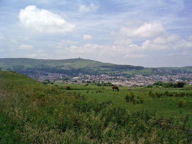
Image: © Eileen Cowen Taken: 22 Jun 2005
Belgrave Mill is the red brick building behind and to the left of the horses. Two Gates is the older mill to the right of the horses in the photograph. Both have now (2008) been demolished and the sites redeveloped for housing.
Images are licensed for reuse under creativecommons.org/licenses/by-sa/2.0
Image Location
Latitude
53.698117
Longitude
-2.466758