Hoods Place, 64, The Street
Introduction
The photograph on this page of Hoods Place, 64, The Street by John Baker as part of the Geograph project.
The Geograph project started in 2005 with the aim of publishing, organising and preserving representative images for every square kilometre of Great Britain, Ireland and the Isle of Man.

There are currently over 7.5m images from over 14,400 individuals and you can help contribute to the project by visiting https://www.geograph.org.uk
Hoods Place, 64, The Street
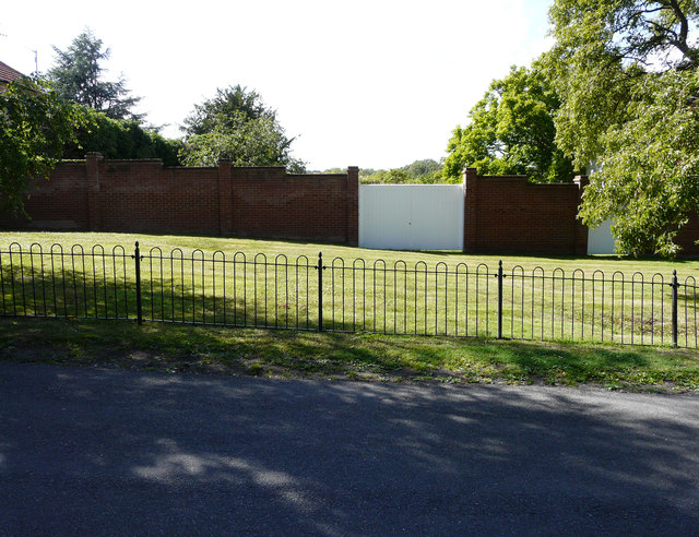
Image: © John Baker Taken: 5 Jul 2020
Planning permission has been granted by Canterbury City Council under application number CA/20/00729 for a “proposed three-storey detached dwelling with associated landscaping, parking and refuse store”. After its construction, the dwelling was named Image; the wall and gates had been removed during the development. The house, to which this development refers, is located out of shot, to the right.
Images are licensed for reuse under creativecommons.org/licenses/by-sa/2.0
Image Location
Latitude
51.216618
Longitude
1.141656