Pawlett pumping station
Introduction
The photograph on this page of Pawlett pumping station by Neil Owen as part of the Geograph project.
The Geograph project started in 2005 with the aim of publishing, organising and preserving representative images for every square kilometre of Great Britain, Ireland and the Isle of Man.

There are currently over 7.5m images from over 14,400 individuals and you can help contribute to the project by visiting https://www.geograph.org.uk
Pawlett pumping station
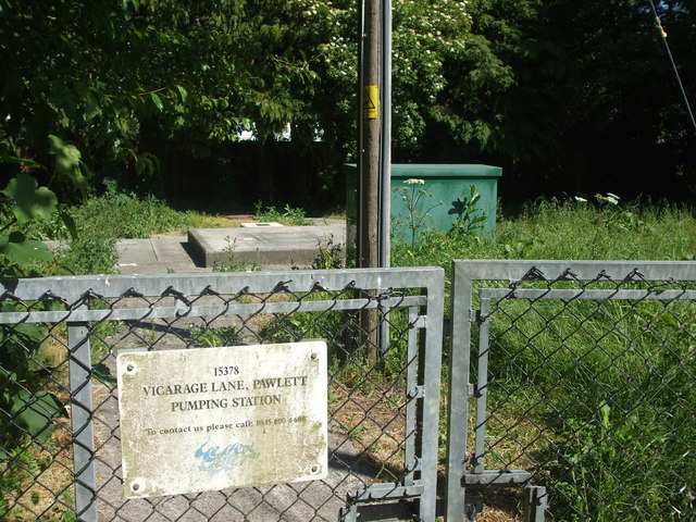
Image: © Neil Owen Taken: 25 May 2020
A small unmanned unit at the south of the village.
Images are licensed for reuse under creativecommons.org/licenses/by-sa/2.0
Image Location
Latitude
51.17763
Longitude
-3.000628