High Street, Tutbury
Introduction
The photograph on this page of High Street, Tutbury by Jonathan Thacker as part of the Geograph project.
The Geograph project started in 2005 with the aim of publishing, organising and preserving representative images for every square kilometre of Great Britain, Ireland and the Isle of Man.

There are currently over 7.5m images from over 14,400 individuals and you can help contribute to the project by visiting https://www.geograph.org.uk
High Street, Tutbury
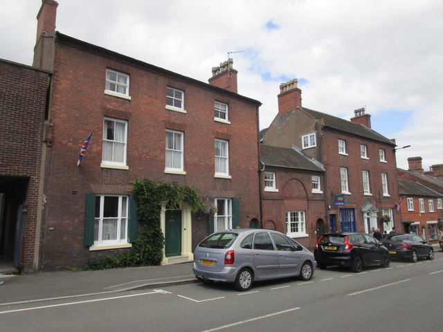
Image: © Jonathan Thacker Taken: 15 Aug 2019
Nos 10 https://historicengland.org.uk/listing/the-list/list-entry/1188432 , 10a https://historicengland.org.uk/listing/the-list/list-entry/1038528 and 11 https://historicengland.org.uk/listing/the-list/list-entry/1294737 all date from the late eighteenth or early nineteenth centuries.
Images are licensed for reuse under creativecommons.org/licenses/by-sa/2.0
Image Location
Latitude
52.857714
Longitude
-1.685104