Woodhouses Lane and Ingleside
Introduction
The photograph on this page of Woodhouses Lane and Ingleside by Oliver Dixon as part of the Geograph project.
The Geograph project started in 2005 with the aim of publishing, organising and preserving representative images for every square kilometre of Great Britain, Ireland and the Isle of Man.

There are currently over 7.5m images from over 14,400 individuals and you can help contribute to the project by visiting https://www.geograph.org.uk
Woodhouses Lane and Ingleside
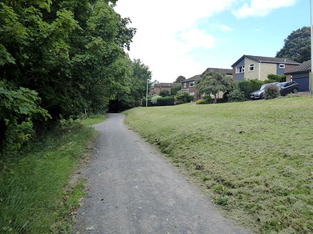
Image: © Oliver Dixon Taken: 29 Jul 2020
Woodhouses Lane is a stone-dust surfaced bridleway, popular with walkers, cyclists and horse-riders, which skirts the west side of Whickham. Here if converges on Ingleside, one of the streets in the housing estate west of Fellside Road.
Images are licensed for reuse under creativecommons.org/licenses/by-sa/2.0
Image Location
Latitude
54.942649
Longitude
-1.694638