Woodhouses Lane and Lady Sarah's Tree
Introduction
The photograph on this page of Woodhouses Lane and Lady Sarah's Tree by Oliver Dixon as part of the Geograph project.
The Geograph project started in 2005 with the aim of publishing, organising and preserving representative images for every square kilometre of Great Britain, Ireland and the Isle of Man.

There are currently over 7.5m images from over 14,400 individuals and you can help contribute to the project by visiting https://www.geograph.org.uk
Woodhouses Lane and Lady Sarah's Tree
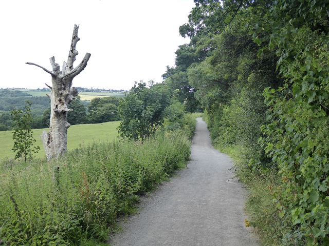
Image: © Oliver Dixon Taken: 29 Jul 2020
Woodhouses Lane is a stone-dust surfaced bridleway, popular with walkers, cyclists and horse-riders, which skirts the west side of Whickham. A plaque secured to the dead tree to the left of the path identifies it as "Lady Sarah's Tree" - but who was Lady Sarah and what was her claim to fame?
Images are licensed for reuse under creativecommons.org/licenses/by-sa/2.0
Image Location
Latitude
54.934577
Longitude
-1.701254