Footpath at Long Hill
Introduction
The photograph on this page of Footpath at Long Hill by Oliver Dixon as part of the Geograph project.
The Geograph project started in 2005 with the aim of publishing, organising and preserving representative images for every square kilometre of Great Britain, Ireland and the Isle of Man.

There are currently over 7.5m images from over 14,400 individuals and you can help contribute to the project by visiting https://www.geograph.org.uk
Footpath at Long Hill
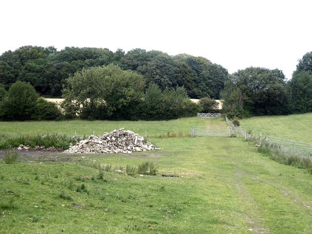
Image: © Oliver Dixon Taken: 29 Jul 2020
The path to the left of the fence is part of the Tyne and Wear Heritage Trail, a 129 km circular path round the perimeter of the former Tyne and Wear County.
Images are licensed for reuse under creativecommons.org/licenses/by-sa/2.0
Image Location
Latitude
54.929789
Longitude
-1.691146