Hop Poles public house, Enfield
Introduction
The photograph on this page of Hop Poles public house, Enfield by Christine Matthews as part of the Geograph project.
The Geograph project started in 2005 with the aim of publishing, organising and preserving representative images for every square kilometre of Great Britain, Ireland and the Isle of Man.

There are currently over 7.5m images from over 14,400 individuals and you can help contribute to the project by visiting https://www.geograph.org.uk
Hop Poles public house, Enfield
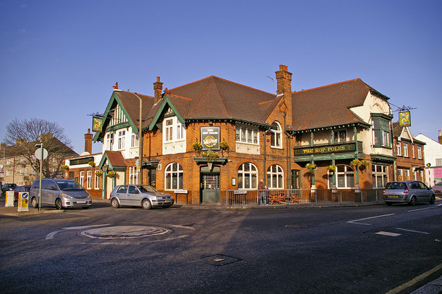
Image: © Christine Matthews Taken: 6 Jan 2008
Hop Poles public house on the corner of Baker Street and Lancaster Road, Enfield.
Images are licensed for reuse under creativecommons.org/licenses/by-sa/2.0
Image Location
Latitude
51.663048
Longitude
-0.077126