House on Trumpet crossroads
Introduction
The photograph on this page of House on Trumpet crossroads by Philip Halling as part of the Geograph project.
The Geograph project started in 2005 with the aim of publishing, organising and preserving representative images for every square kilometre of Great Britain, Ireland and the Isle of Man.

There are currently over 7.5m images from over 14,400 individuals and you can help contribute to the project by visiting https://www.geograph.org.uk
House on Trumpet crossroads
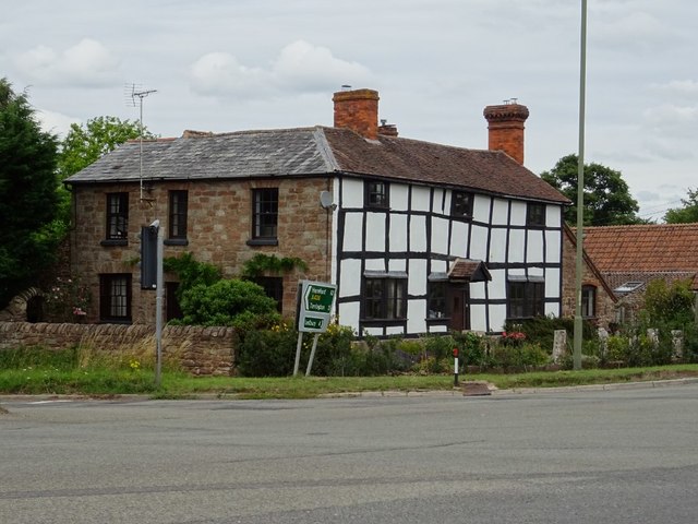
Image: © Philip Halling Taken: 29 Jul 2020
A part timber-framed, part sandstone house opposite the Trumpet Inn on the Trumpet crossroads. The house is Grade II listed, see: https://historicengland.org.uk/listing/the-list/list-entry/1156383
Images are licensed for reuse under creativecommons.org/licenses/by-sa/2.0
Image Location
Latitude
52.053621
Longitude
-2.502942