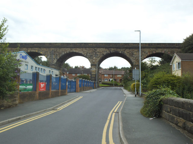
Churwell railway viaduct
Introduction
The photograph on this page of Churwell railway viaduct by Stephen Craven as part of the Geograph project.
The Geograph project started in 2005 with the aim of publishing, organising and preserving representative images for every square kilometre of Great Britain, Ireland and the Isle of Man.
There are currently over 7.5m images from over 14,400 individuals and you can help contribute to the project by visiting https://www.geograph.org.uk

Image: © Stephen Craven Taken: 21 Jul 2020
The viaduct, along with other viaducts and bridges on the South Trans-Pennine main line (Leeds to Manchester), was listed grade II (List entry 1451053) as recently as 2018, in advance of projected upgrade works to the route. Reasons for listing were as "a little altered example of an 1840s viaduct on what is now one of the main railway lines in northern England" and that it was designed by the notable Scottish railway engineer Thomas Grainger.

