Mains of Slains
Introduction
The photograph on this page of Mains of Slains by Bill Harrison as part of the Geograph project.
The Geograph project started in 2005 with the aim of publishing, organising and preserving representative images for every square kilometre of Great Britain, Ireland and the Isle of Man.

There are currently over 7.5m images from over 14,400 individuals and you can help contribute to the project by visiting https://www.geograph.org.uk
Mains of Slains
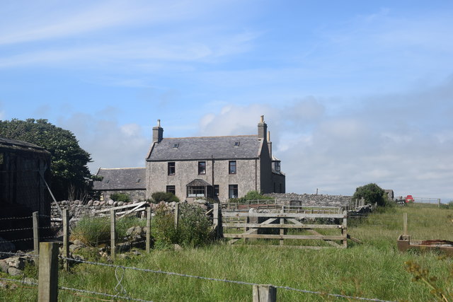
Image: © Bill Harrison Taken: 24 Jul 2020
The "severe but good proportions" late 18th Century farmhouse is B-listed (LB16052: http://portal.historicenvironment.scot/designation/LB16052 ) and still very much the centre of a working farm.
Images are licensed for reuse under creativecommons.org/licenses/by-sa/2.0
Image Location
Latitude
57.362342
Longitude
-1.921691