Penny Bridge FWS, Settle
Introduction
The photograph on this page of Penny Bridge FWS, Settle by Stephen Craven as part of the Geograph project.
The Geograph project started in 2005 with the aim of publishing, organising and preserving representative images for every square kilometre of Great Britain, Ireland and the Isle of Man.

There are currently over 7.5m images from over 14,400 individuals and you can help contribute to the project by visiting https://www.geograph.org.uk
Penny Bridge FWS, Settle
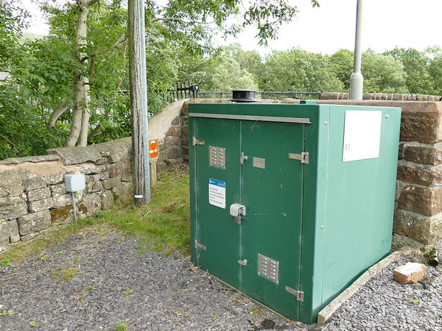
Image: © Stephen Craven Taken: 19 Jul 2020
A Flood Warning Station. According to Environment Agency information, the typical river depth here is below 1 metre; 2.48m is the trigger for a flood warning; and 2.90m is the highest recorded level (at which it would be flooding onto the fields downstream of the bridge)
Images are licensed for reuse under creativecommons.org/licenses/by-sa/2.0
Image Location


Leaflet Map data © OpenStreetMap
Latitude
54.065301
Longitude
-2.285837