Overgrown track by the river Ribble in Settle
Introduction
The photograph on this page of Overgrown track by the river Ribble in Settle by Stephen Craven as part of the Geograph project.
The Geograph project started in 2005 with the aim of publishing, organising and preserving representative images for every square kilometre of Great Britain, Ireland and the Isle of Man.

There are currently over 7.5m images from over 14,400 individuals and you can help contribute to the project by visiting https://www.geograph.org.uk
Overgrown track by the river Ribble in Settle
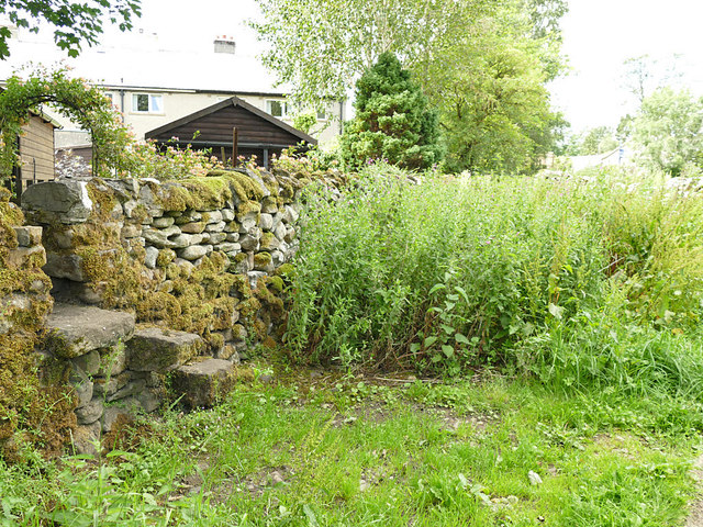
Image: © Stephen Craven Taken: 19 Jul 2020
The stub end of a stone-walled former farm track between Bankwell Road and the river bank, now completely overgrown; there is a parallel route along a modern urban footpath into the housing development called Kendelmans that has swallowed up the rest of its length.
Images are licensed for reuse under creativecommons.org/licenses/by-sa/2.0
Image Location


Leaflet Map data © OpenStreetMap
Latitude
54.069433
Longitude
-2.286477