Holy Trinity Church name board
Introduction
The photograph on this page of Holy Trinity Church name board by Martin Dawes as part of the Geograph project.
The Geograph project started in 2005 with the aim of publishing, organising and preserving representative images for every square kilometre of Great Britain, Ireland and the Isle of Man.

There are currently over 7.5m images from over 14,400 individuals and you can help contribute to the project by visiting https://www.geograph.org.uk
Holy Trinity Church name board
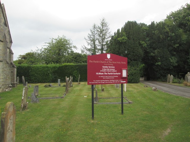
Image: © Martin Dawes Taken: 27 Jul 2020
The driveway to the right goes to the car park behind the church
Images are licensed for reuse under creativecommons.org/licenses/by-sa/2.0
Image Location
Latitude
51.033194
Longitude
-0.260914