East End Road, Bradwell
Introduction
The photograph on this page of East End Road, Bradwell by Robin Webster as part of the Geograph project.
The Geograph project started in 2005 with the aim of publishing, organising and preserving representative images for every square kilometre of Great Britain, Ireland and the Isle of Man.

There are currently over 7.5m images from over 14,400 individuals and you can help contribute to the project by visiting https://www.geograph.org.uk
East End Road, Bradwell
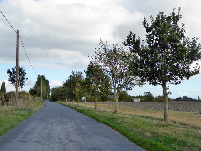
Image: © Robin Webster Taken: 22 Oct 2016
Considered to be a Roman road, to the coastal fort of Othona. It is isolated from the rest of the proven Roman road system, just part of the mystery of how the Romans got around in Essex south and east of the London - Colchester Road. There has been much surmise but nothing proven.
Images are licensed for reuse under creativecommons.org/licenses/by-sa/2.0
Image Location


Leaflet Map data © OpenStreetMap
Latitude
51.729616
Longitude
0.916995