Transforming Sighthill
Introduction
The photograph on this page of Transforming Sighthill by Richard Sutcliffe as part of the Geograph project.
The Geograph project started in 2005 with the aim of publishing, organising and preserving representative images for every square kilometre of Great Britain, Ireland and the Isle of Man.

There are currently over 7.5m images from over 14,400 individuals and you can help contribute to the project by visiting https://www.geograph.org.uk
Transforming Sighthill
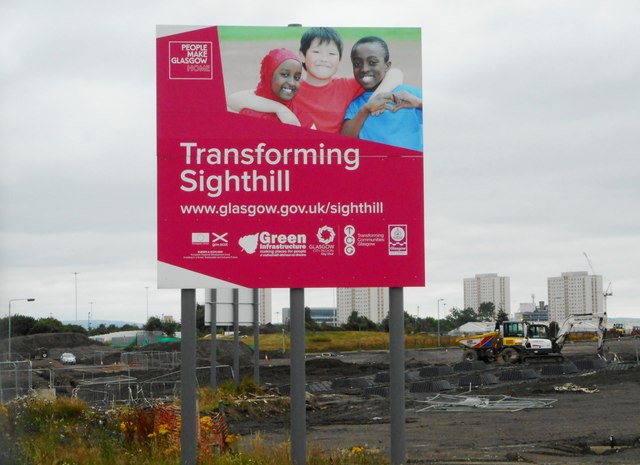
Image: © Richard Sutcliffe Taken: 24 Jul 2020
Sighthill is the largest of eight Transformational Regeneration Areas (TRAs) in Glasgow. Working with strategic partners, Glasgow City Council produced a £250m masterplan for Sighthill TRA. Parts of the area have already been redeveloped and work continues on the rest.
Images are licensed for reuse under creativecommons.org/licenses/by-sa/2.0
Image Location
Latitude
55.873887
Longitude
-4.23327