Old Boundary Marker
Introduction
The photograph on this page of Old Boundary Marker by B Oldham as part of the Geograph project.
The Geograph project started in 2005 with the aim of publishing, organising and preserving representative images for every square kilometre of Great Britain, Ireland and the Isle of Man.

There are currently over 7.5m images from over 14,400 individuals and you can help contribute to the project by visiting https://www.geograph.org.uk
Old Boundary Marker
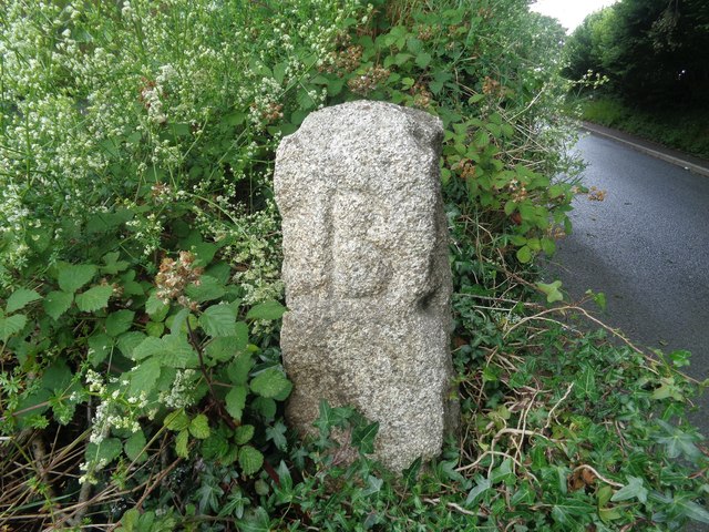
Image: © B Oldham Taken: 27 Jun 2020
Parish Boundary Marker on the southwest side of the junction of Culverland Road and Culverland Park, between the pavement and the road. On the former boundary of Liskeard Borough and Liskeard Parish. Inscribed B and P on opposite faces. Milestone Society National ID: CW_LISK01pb
Images are licensed for reuse under creativecommons.org/licenses/by-sa/2.0
Image Location


Leaflet Map data © OpenStreetMap
Latitude
50.463739
Longitude
-4.463113