Towards the Woolleigh Brook valley from Southdown
Introduction
The photograph on this page of Towards the Woolleigh Brook valley from Southdown by Derek Harper as part of the Geograph project.
The Geograph project started in 2005 with the aim of publishing, organising and preserving representative images for every square kilometre of Great Britain, Ireland and the Isle of Man.

There are currently over 7.5m images from over 14,400 individuals and you can help contribute to the project by visiting https://www.geograph.org.uk
Towards the Woolleigh Brook valley from Southdown
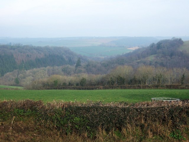
Image: © Derek Harper Taken: 4 Jan 2008
Looking north from the A3124 at Southdown. The land slopes increasingly steeply away into the Woolleigh Brook valley. On the far side, in SS5317, the wooded slopes of the valley of the Whitsleigh Down Brook join the valley; the wood to the left is Palmer's Hill Copse.
Images are licensed for reuse under creativecommons.org/licenses/by-sa/2.0
Image Location


Leaflet Map data © OpenStreetMap
Latitude
50.931195
Longitude
-4.080429