Naval and Military Inn, Taunton
Introduction
The photograph on this page of Naval and Military Inn, Taunton by Derek Harper as part of the Geograph project.
The Geograph project started in 2005 with the aim of publishing, organising and preserving representative images for every square kilometre of Great Britain, Ireland and the Isle of Man.

There are currently over 7.5m images from over 14,400 individuals and you can help contribute to the project by visiting https://www.geograph.org.uk
Naval and Military Inn, Taunton
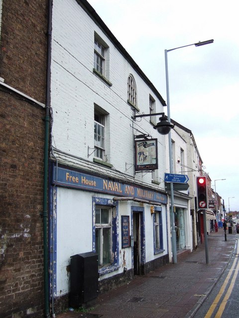
Image: © Derek Harper Taken: 10 Jan 2008
In need of a lick of paint, but let's hope they preserve the fine lettering and inn sign. Some architectural detail is at http://webapp1.somerset.gov.uk/her/details.asp?prn=45960 . The traffic light is at the junction with Image
Images are licensed for reuse under creativecommons.org/licenses/by-sa/2.0
Image Location
Latitude
51.015187
Longitude
-3.09535