Railway viaducts
Introduction
The photograph on this page of Railway viaducts by philandju as part of the Geograph project.
The Geograph project started in 2005 with the aim of publishing, organising and preserving representative images for every square kilometre of Great Britain, Ireland and the Isle of Man.

There are currently over 7.5m images from over 14,400 individuals and you can help contribute to the project by visiting https://www.geograph.org.uk
Railway viaducts
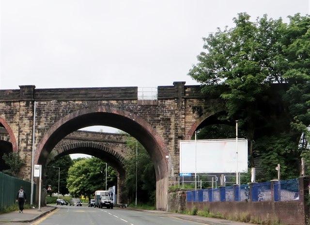
Image: © philandju Taken: 26 Jul 2020
Crossing Folds Road near Turner Bridge. The viaduct furthest from the camera once carried the Bolton to Astley Bridge line which was closed in the 1950s. The nearer viaduct carries the Bolton to Blackburn line.
Images are licensed for reuse under creativecommons.org/licenses/by-sa/2.0
Image Location
Latitude
53.585401
Longitude
-2.418989