Benchmark on low wall at Queen's Road / Bolton Road junction
Introduction
The photograph on this page of Benchmark on low wall at Queen's Road / Bolton Road junction by Luke Shaw as part of the Geograph project.
The Geograph project started in 2005 with the aim of publishing, organising and preserving representative images for every square kilometre of Great Britain, Ireland and the Isle of Man.

There are currently over 7.5m images from over 14,400 individuals and you can help contribute to the project by visiting https://www.geograph.org.uk
Benchmark on low wall at Queen's Road / Bolton Road junction
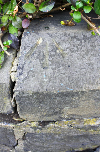
Image: © Luke Shaw Taken: 2 Sep 2017
Ordnance Survey rivet benchmark described on the Bench Mark Database at www.bench-marks.org.uk/bm85009
Images are licensed for reuse under creativecommons.org/licenses/by-sa/2.0
Image Location
Latitude
53.809586
Longitude
-1.748331