61, Mill Lane
Introduction
The photograph on this page of 61, Mill Lane by John Baker as part of the Geograph project.
The Geograph project started in 2005 with the aim of publishing, organising and preserving representative images for every square kilometre of Great Britain, Ireland and the Isle of Man.

There are currently over 7.5m images from over 14,400 individuals and you can help contribute to the project by visiting https://www.geograph.org.uk
61, Mill Lane
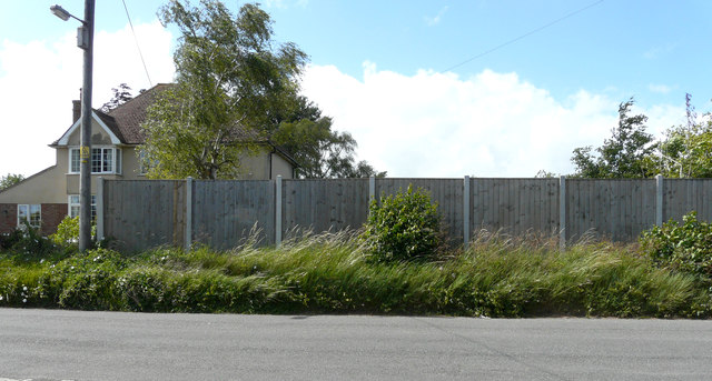
Image: © John Baker Taken: 28 Jun 2020
Planning permission has been granted by Dover District Council under application number DOV/19/01028 for the “erection of a detached dwelling with basement, formation of vehicular access and associated parking”. The house will be built behind the fence to the right of the present house.
Images are licensed for reuse under creativecommons.org/licenses/by-sa/2.0
Image Location
Latitude
51.187816
Longitude
1.241177