A6033 heading towards Pecket Well at Nab Nook
Introduction
The photograph on this page of A6033 heading towards Pecket Well at Nab Nook by Luke Shaw as part of the Geograph project.
The Geograph project started in 2005 with the aim of publishing, organising and preserving representative images for every square kilometre of Great Britain, Ireland and the Isle of Man.

There are currently over 7.5m images from over 14,400 individuals and you can help contribute to the project by visiting https://www.geograph.org.uk
A6033 heading towards Pecket Well at Nab Nook
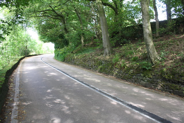
Image: © Luke Shaw Taken: 28 Aug 2017
There is an Ordnance Survey benchmark Image on a stone at the base of the wall at the right hand side of the road about 3m from the right hand edge of the image
Images are licensed for reuse under creativecommons.org/licenses/by-sa/2.0
Image Location
Latitude
53.758079
Longitude
-2.009973