Old Boundary Marker
Introduction
The photograph on this page of Old Boundary Marker by M P Roberts as part of the Geograph project.
The Geograph project started in 2005 with the aim of publishing, organising and preserving representative images for every square kilometre of Great Britain, Ireland and the Isle of Man.

There are currently over 7.5m images from over 14,400 individuals and you can help contribute to the project by visiting https://www.geograph.org.uk
Old Boundary Marker
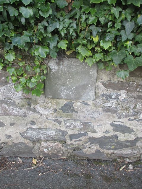
Image: © M P Roberts Taken: 13 Mar 2020
Parish Boundary Marker set in stone wall on the west side of the B5115 Conway Road, south of a school. Conwy community. No inscription. Milestone Society National ID: CAE_CONWY01pb
Images are licensed for reuse under creativecommons.org/licenses/by-sa/2.0
Image Location
Latitude
53.304869
Longitude
-3.812793