Byway near Little Turncroft Farm
Introduction
The photograph on this page of Byway near Little Turncroft Farm by Alan Murray-Rust as part of the Geograph project.
The Geograph project started in 2005 with the aim of publishing, organising and preserving representative images for every square kilometre of Great Britain, Ireland and the Isle of Man.

There are currently over 7.5m images from over 14,400 individuals and you can help contribute to the project by visiting https://www.geograph.org.uk
Byway near Little Turncroft Farm
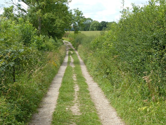
Image: © Alan Murray-Rust Taken: 21 Jul 2020
Part of a network of local byways with varying degrees of accessibility. Part of the Robin Hood Way.
Images are licensed for reuse under creativecommons.org/licenses/by-sa/2.0
Image Location


Leaflet Map data © OpenStreetMap
Latitude
53.085497
Longitude
-1.022038