Ruined cottage, Arvalee
Introduction
The photograph on this page of Ruined cottage, Arvalee by Kenneth Allen as part of the Geograph project.
The Geograph project started in 2005 with the aim of publishing, organising and preserving representative images for every square kilometre of Great Britain, Ireland and the Isle of Man.

There are currently over 7.5m images from over 14,400 individuals and you can help contribute to the project by visiting https://www.geograph.org.uk
Ruined cottage, Arvalee
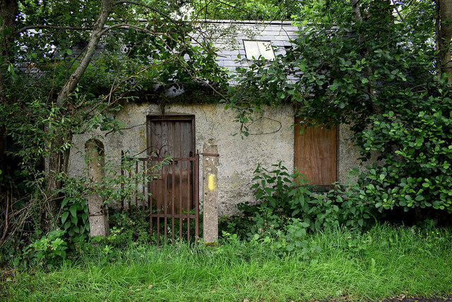
Image: © Kenneth Allen Taken: 24 Jul 2020
Pictured along Deverney Road - was this the old Recarson School or was it further along at the corner of Tormore Road as shown in the Griffiths map? There was a Sod House was somewhere between these two locations and it served as a refreshment stop along the old coaching route. I was speaking to another man and he confirmed that there was two schools but only this one remains.
Images are licensed for reuse under creativecommons.org/licenses/by-sa/2.0
Image Location
Latitude
54.592117
Longitude
-7.23377