Partially demolished stone arches
Introduction
The photograph on this page of Partially demolished stone arches by Graham Hogg as part of the Geograph project.
The Geograph project started in 2005 with the aim of publishing, organising and preserving representative images for every square kilometre of Great Britain, Ireland and the Isle of Man.

There are currently over 7.5m images from over 14,400 individuals and you can help contribute to the project by visiting https://www.geograph.org.uk
Partially demolished stone arches
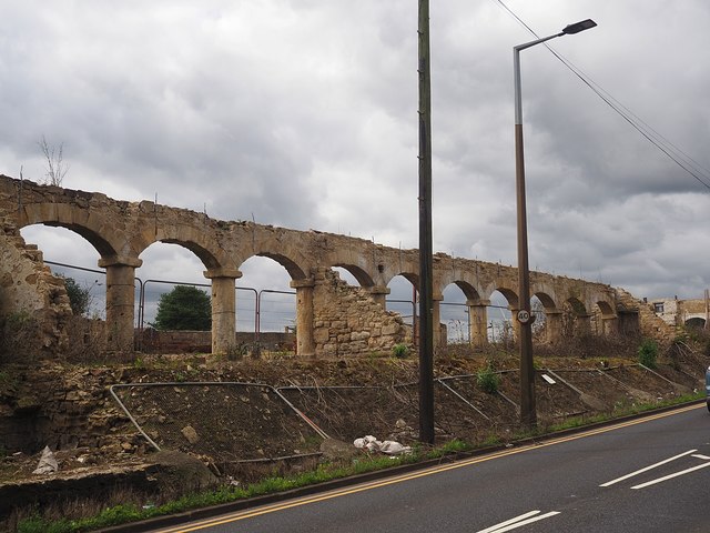
Image: © Graham Hogg Taken: 20 Jul 2020
At Manor Farm on a site which is being developed for residential use. The arches were part of an arcade used for storage of farm equipment. They date from the early 19th century and are grade II listed so it is surprising to see them in this condition. In 2016 they looked like this Image
Images are licensed for reuse under creativecommons.org/licenses/by-sa/2.0
Image Location
Latitude
53.540851
Longitude
-1.226461