Granny Darley's Field
Introduction
The photograph on this page of Granny Darley's Field by ken mccann as part of the Geograph project.
The Geograph project started in 2005 with the aim of publishing, organising and preserving representative images for every square kilometre of Great Britain, Ireland and the Isle of Man.

There are currently over 7.5m images from over 14,400 individuals and you can help contribute to the project by visiting https://www.geograph.org.uk
Granny Darley's Field
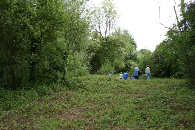
Image: © ken mccann Taken: 20 May 2007
Granny Darley's Field is a small enclosed field which was let out by the Parish Council as a small holding type of plot.It has recently been cleared of scrub to allow access to the old brick ponds and Flax retting ponds.
Images are licensed for reuse under creativecommons.org/licenses/by-sa/2.0
Image Location


Leaflet Map data © OpenStreetMap
Latitude
53.77398
Longitude
-0.971209