B3115 at Tunley
Introduction
The photograph on this page of B3115 at Tunley by Derek Harper as part of the Geograph project.
The Geograph project started in 2005 with the aim of publishing, organising and preserving representative images for every square kilometre of Great Britain, Ireland and the Isle of Man.

There are currently over 7.5m images from over 14,400 individuals and you can help contribute to the project by visiting https://www.geograph.org.uk
B3115 at Tunley
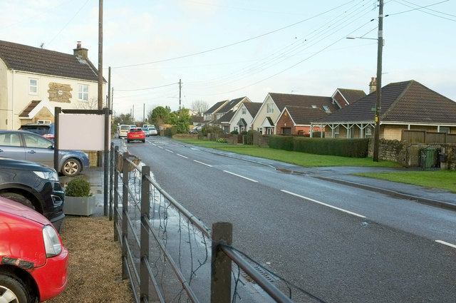
Image: © Derek Harper Taken: 6 Dec 2019
From the car park of the King William Inn. The house on the left, The Old Forge, is dated 1842.
Images are licensed for reuse under creativecommons.org/licenses/by-sa/2.0
Image Location
Latitude
51.333772
Longitude
-2.438179