St Georges View
Introduction
The photograph on this page of St Georges View by Gordon Griffiths as part of the Geograph project.
The Geograph project started in 2005 with the aim of publishing, organising and preserving representative images for every square kilometre of Great Britain, Ireland and the Isle of Man.

There are currently over 7.5m images from over 14,400 individuals and you can help contribute to the project by visiting https://www.geograph.org.uk
St Georges View
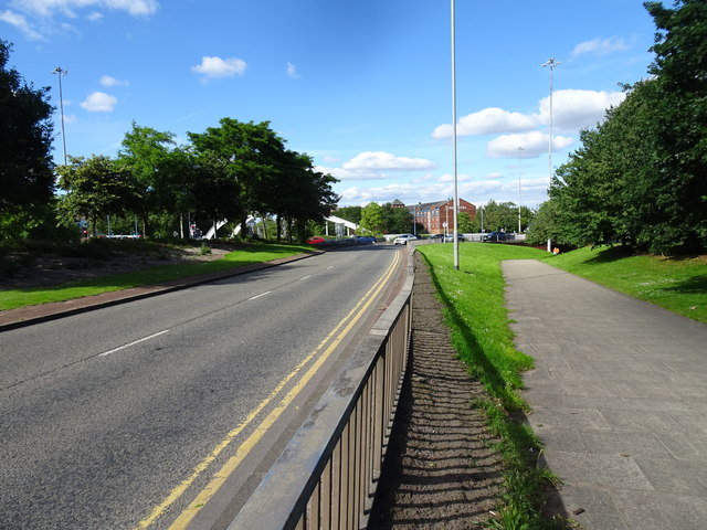
Image: © Gordon Griffiths Taken: 20 Jul 2020
The view approaching Bilston Street Island in Wolverhampton of the footpath alongside Ring Road St Georges.
Images are licensed for reuse under creativecommons.org/licenses/by-sa/2.0
Image Location
Latitude
52.582627
Longitude
-2.121714