Heading to Hawthornhill
Introduction
The photograph on this page of Heading to Hawthornhill by Lairich Rig as part of the Geograph project.
The Geograph project started in 2005 with the aim of publishing, organising and preserving representative images for every square kilometre of Great Britain, Ireland and the Isle of Man.

There are currently over 7.5m images from over 14,400 individuals and you can help contribute to the project by visiting https://www.geograph.org.uk
Heading to Hawthornhill
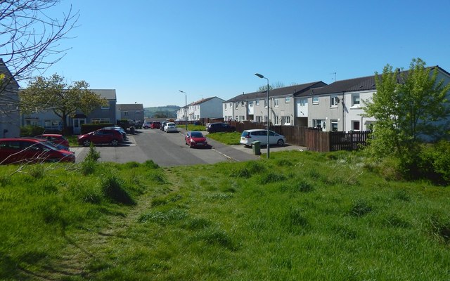
Image: © Lairich Rig Taken: 6 May 2020
After following the side of a hedge (Image) and then ascending a grassy slope, the route enters a built-up area here at Cumbrae Crescent South.
Images are licensed for reuse under creativecommons.org/licenses/by-sa/2.0
Image Location
Latitude
55.95161
Longitude
-4.600569