Bridleway to Middle Farm
Introduction
The photograph on this page of Bridleway to Middle Farm by Oliver Dixon as part of the Geograph project.
The Geograph project started in 2005 with the aim of publishing, organising and preserving representative images for every square kilometre of Great Britain, Ireland and the Isle of Man.

There are currently over 7.5m images from over 14,400 individuals and you can help contribute to the project by visiting https://www.geograph.org.uk
Bridleway to Middle Farm
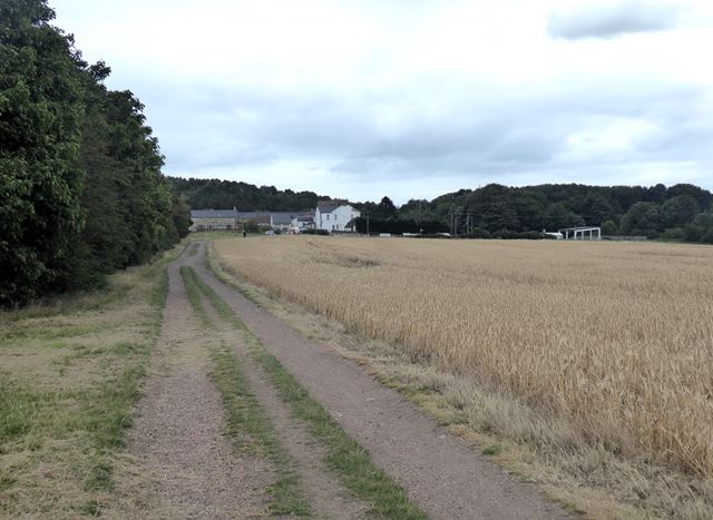
Image: © Oliver Dixon Taken: 20 Jul 2020
The farmland to the north of Seghill is criss-crossed with bridleways, many of which coincide with the line of old waggonways. Middle Farm is a cluster of farm buildings which have been converted to a number of desirable residences.
Images are licensed for reuse under creativecommons.org/licenses/by-sa/2.0
Image Location
Latitude
55.069452
Longitude
-1.551956