By-way and railway embankment
Introduction
The photograph on this page of By-way and railway embankment by David Martin as part of the Geograph project.
The Geograph project started in 2005 with the aim of publishing, organising and preserving representative images for every square kilometre of Great Britain, Ireland and the Isle of Man.

There are currently over 7.5m images from over 14,400 individuals and you can help contribute to the project by visiting https://www.geograph.org.uk
By-way and railway embankment
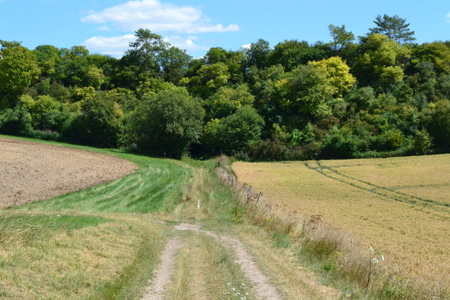
Image: © David Martin Taken: 20 Jul 2020
The Andover-Salisbury railway line crosses the dry valley high up on the tree-lined embankment. An arch leads to a fenced-off entrance to Porton Down.
Images are licensed for reuse under creativecommons.org/licenses/by-sa/2.0
Image Location
Latitude
51.140969
Longitude
-1.698486