Hatfield Heath: Mill Lane
Introduction
The photograph on this page of Hatfield Heath: Mill Lane by Nigel Cox as part of the Geograph project.
The Geograph project started in 2005 with the aim of publishing, organising and preserving representative images for every square kilometre of Great Britain, Ireland and the Isle of Man.

There are currently over 7.5m images from over 14,400 individuals and you can help contribute to the project by visiting https://www.geograph.org.uk
Hatfield Heath: Mill Lane
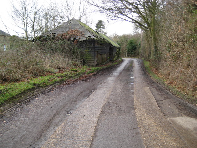
Image: © Nigel Cox Taken: 9 Jan 2008
Mill Lane is a no through road that leads to the site of a former Prisoner of War camp, the farm at which is shown on the map, unsurprisingly, as Camp Farm.
Images are licensed for reuse under creativecommons.org/licenses/by-sa/2.0
Image Location
Latitude
51.815692
Longitude
0.202276